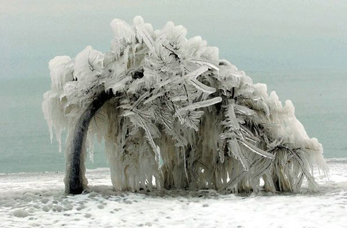
Lake Effect Snow
Lake effect snow is a weather event that is very common in Northwestern New York. It occurs when a cold, dry air mass, usually from Canada, moves over a warm, wet body of water. The air absorbs moisture from the water. As the clouds move downwind and onto land, the moisture is emptied as snow.
 (A map of average snowfall in New York)
In New York, these air masses come from Canada, move across the Great Lakes, and dump huge amounts of snow on cities such as Rochester and Buffalo, giving them more snowfall then almost any other place in the country.
 (incredible amounts of snow in Northwestern New York)
Sources:
Earth Science, Tenth Edition
Picture Sources:
Pic #1: www.erh.noaa.gov/er/buf/lakeffect/snwseas.gif
Pic #2: http://www.jeffsweather.com/archives/2007/02/lake_effect_sno_2.html
Earth Science, Tenth Edition
Picture Sources:
Pic #1: www.erh.noaa.gov/er/
Pic #2: http://www.jeffsweather.com/archives/2007/02/lake_effect_sno_2.html


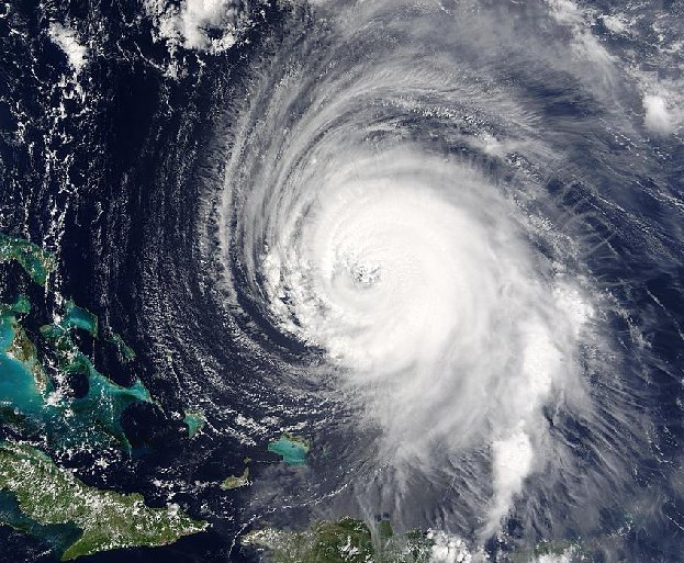
 Damage from a category 5 hurricane.
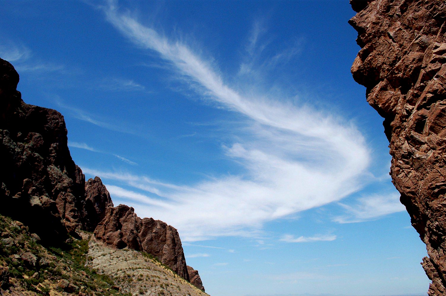
 When clouds and mountain peaks intervene or partially shadow the sun's rays, the light is scattered in a parallel direction throughout open spaces in clouds and other places. These rays are called Crepuscular rays. You will most commonly see these rays during sunrise, sunset, and dusty or cloudy days. Depending on when you see them they will appear to be coming from different directions.


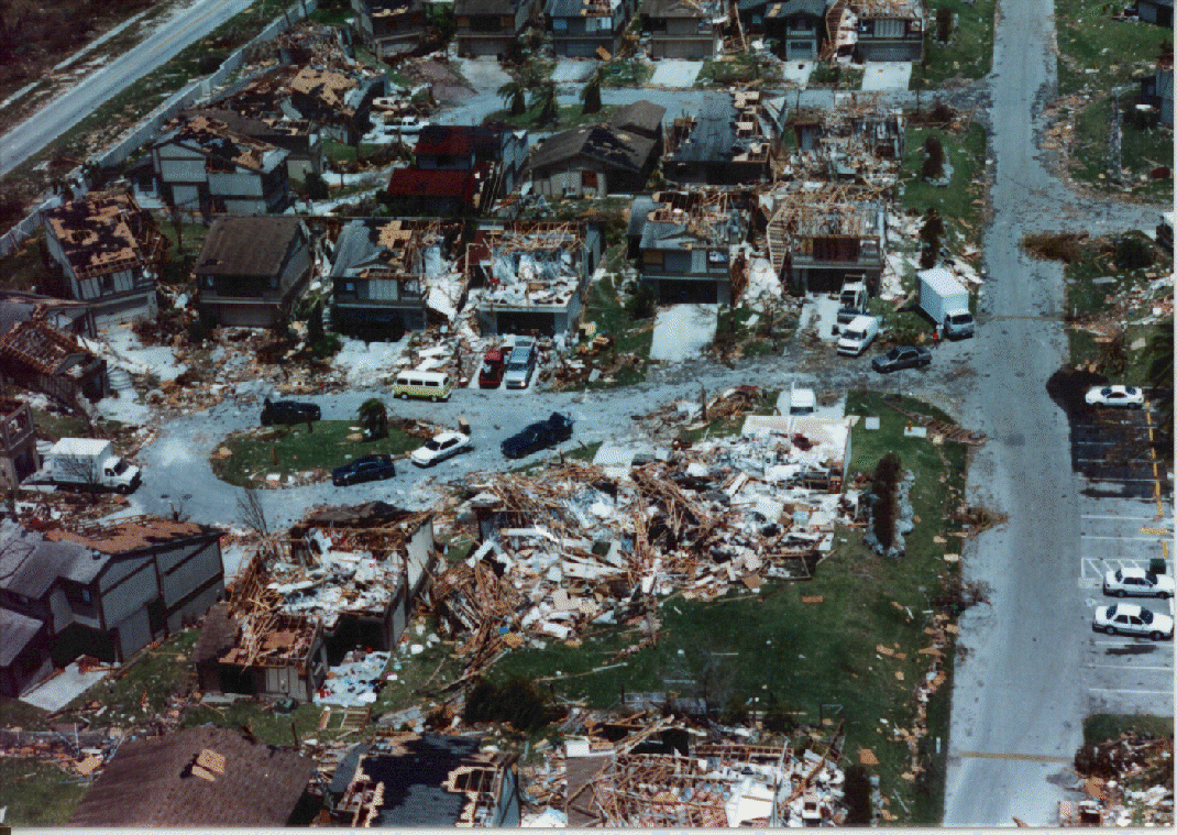
 Aerial View of an F5 Tornado


 In Arches National Park you can..........


 The Arches National Park is the world's largest concentration of natural stone arches.


